Stehekin to Manning Park
October 14
To Rainy Pass
20 miles
The first shuttle back to the ranger station leaves at 9h30. The weather doesn’t look too bad, it’s cloudy and everything has an autumn-like feeling like the past week, maybe we are lucky today and the cold rain waits until tomorrow.
PushUp, a fast walker, sets the pace, and I do my best to follow.
Somewhere in a forest on the way, we see a kind of wooden house that looks closed which must be that possible shelter some people were talking about. I hardly notice it as we rush by so determined we are to get to Mazama.
Halfway It starts raining. It is not raining hard but together with the temperature it is mercilessly cold and a big test of one’s mental strength. Whenever I have to pee (and I have to pee quite a lot whenever it is cold), I ask PushUp to wait as following someone in these conditions is easier than walking alone. My hands are so cold and numb that I hardly manage to open the zipper of my rain pants before squatting down.
PushUp suggests that we walk a bit further to a bigger parking lot with toilets which would allow us to change our wet clothes. I am hesitating but there is not room for discussion in this situation and in the end its just another mile … just one mile. It seems to be
Once we get to the parking lot, PushUp sprints to the toilet signaling that is going to change there. Only now do I realize how desperate he is to get his wet clothes off. Apart from my frozen hands, I feel ok considering the circumstances. The rain poncho I am wearing over my rain jacket has probably saved me from getting soaked and freezing cold. Not many cars in the parking lot, so I head over to the road to put my thumb out. It’s still raining and a couple of cars pass by without stopping! How can they not stop with someone standing in the pouring rain? And it’s getting dark soon. I almost wanna jump on the street.
Already a little desperate, I notice that a day hiker is packing his stuff into his car. As he is coming towards the junction with the main road, I stop him knocking at his window. To my surprise, he opens the window - I must look very scary in my poncho waving with my trekking poles. Turns out that he is heading in the opposite direction. Oh no!
Sensing that this is might be our only chance to get a ride, I explain the situation and offer him money if he would drive us down to Mazama. When he agrees to take us for free I almost wanna hug him. “We have a ride”, I scream in the direction where I had last seen PushUp. It takes a while until he shows up but finally, we squeeze our wet packs and soaked rain jackets into the truck of the car and jump in. Only at this point, did I notice that PushUp must have been very close to hypothermia and that a hot shower is what we both need urgently.
October 15/16 | endless waiting
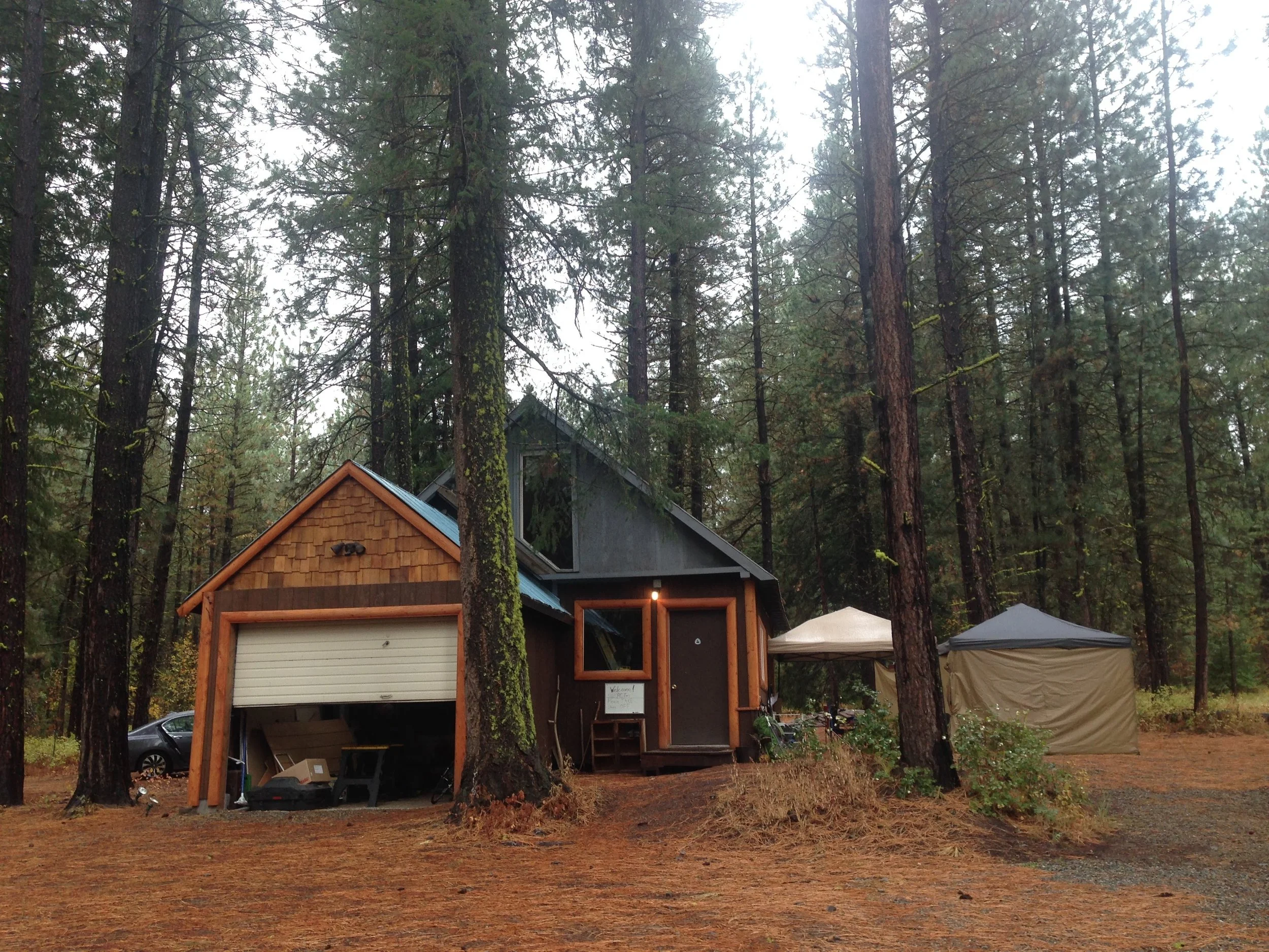
Zeroing in Mazama seems like heaven. Ravensong, a female PCT hiker legend, and now trail angel has built a lovely little shed for hikers with kitchen and washing facilities on the ground floor and a cozy sleeping area right below the roof.
Days are spent, eating, relaxing, and wandering to the closeby market and cafe back and forth.
The predicted storm brings further snow up in the mountains but turns out not to be as severe as the forecast had predicted. More hikers arrive the next day including Sunshine and Bam. They had started out later that day from Stehekin and found shelter in that hut in the forest where they had waited out the rain before heading out the next day in a fairly good weather window. So happy to see them!
September 17 | decision time
There are quite a few of us stuck at Mazama at this point. Maybe a dozen or so.
PushUp to my surprise decides to end his hike here and head down to California to meet his brother who is currently on vacation there. Less than 100 miles from the terminus!
For the rest of us, there are basically 3 options:
Continue on the PCT towards Hart’s Pass where due to snow conditions there could be avalanches.
Take an alternate route avoiding the avalanche-prone area by starting at a different trailhead leading back to the PCT roughly 8km before the border monument resulting in skipping roughly 50km of trail.
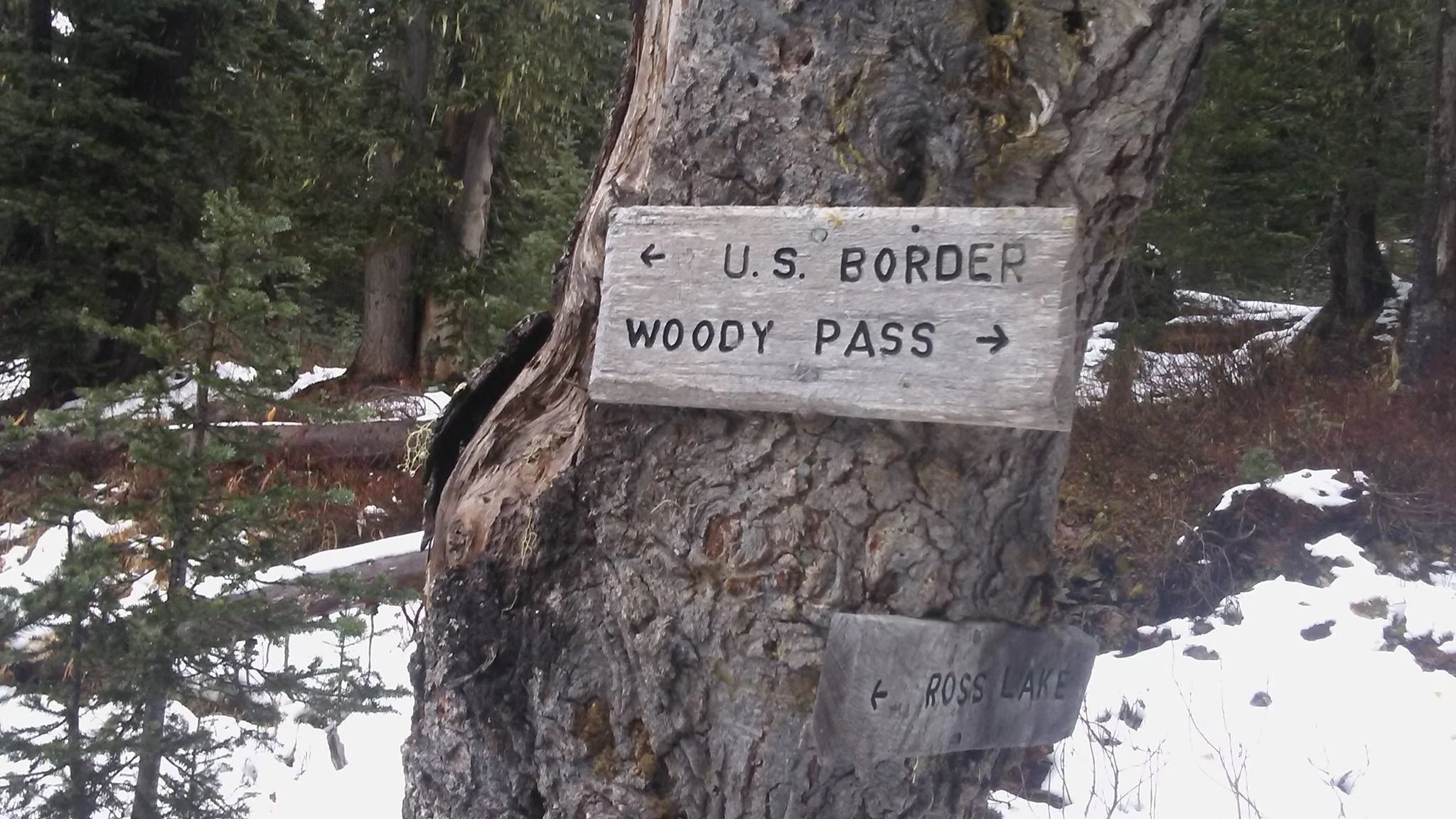
Take an alternate route along Ross Lake allowing a “continuous footpath” to Canada from Mazama without ending at the monument / northern terminus.
The group splits in two taking either of the alternates, me joining the one ending at the terminus.
Ravenson gives our group of 8 a ride to the trailhead, wishing us luck and asking us to let her know once we made it on the next day.
We walk into the night that day trying to reach a hut indicated by Ravensong. We walk through snow-covered forests, slight rain, and through creeks into the night. We are not always sure we are on the right track but with Ravensong’s indications and Sabrina’s excellent GPS-supported navigation skills, we eventually reach a vast open area in the middle of a forest. Is this the airfield close to the hut? I walk towards some trees to the left and discover a shed, a toilet, and then … a hut! As Ravensong already suspected, it is unfortunately closed, so we pitch our tents close by sheltered by the trees, enjoying our last supper in the light of our headlamps.
September 18 | The last push
As we embark on our final day on the trail, an overwhelming sense of joy fills the air. The last night in our tents!
We begin our day with loads of energy, and our spirits high. I make sure to fill my pockets with snacks, so I won't have to rummage through my pack during the day.
The hike goes smoothly until we reach a small mountain blanketed in snow, a path we need to traverse to rejoin the PCT. We find ourselves post-holing through snow, sinking knee-deep with every step. It becomes apparent that navigation is a different challenge when the trail is buried beneath the snow. The usual navigation app doesn't cover this stretch, but thanks to Sabrina, who has downloaded the map of the region, she guides us reliably. During the final climb, we maintain a bit of distance between us, just in case the snow starts shifting. Although it isn't an extensive ascent, it proves exhausting and we joyfully commemorate our survivor group with a photo at the top. The descent, however, poses a new challenge: Where is the trail? We know the PCT has to be close, but the steep terrain makes it hard to spot. We manage to slide down, holding onto trees, until we eventually sense the presence of the trail. Last pee stop at the junction!
Along this long journey, I occasionally tried to imagine how the end would feel. And only thinking about it, I often was on the verge of tears. However, now as we near the monument: nothing. I am just curious how it looks like and how it might feel to get there. Am I thinking anything at all? Or just soaking up the moment?
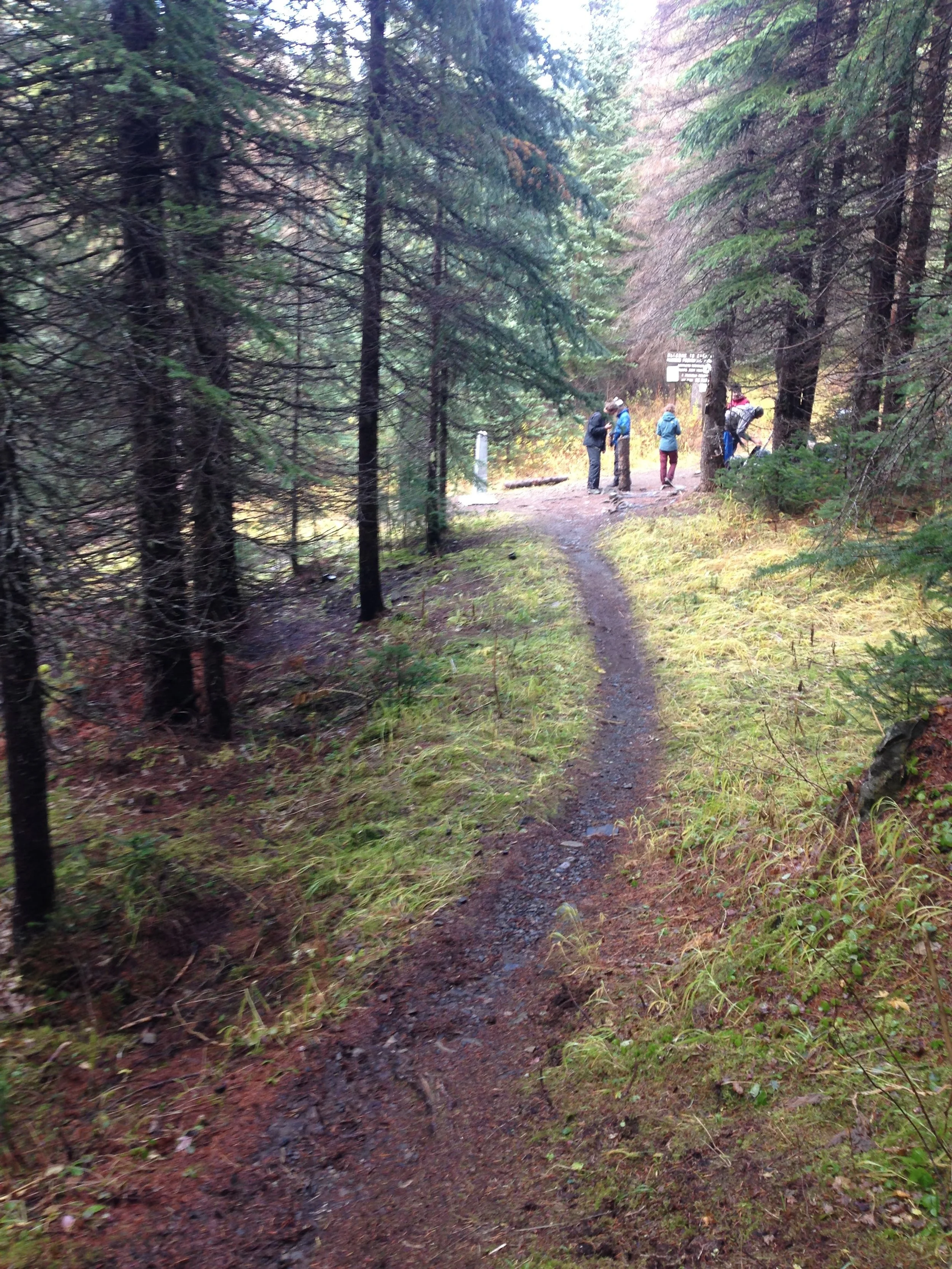
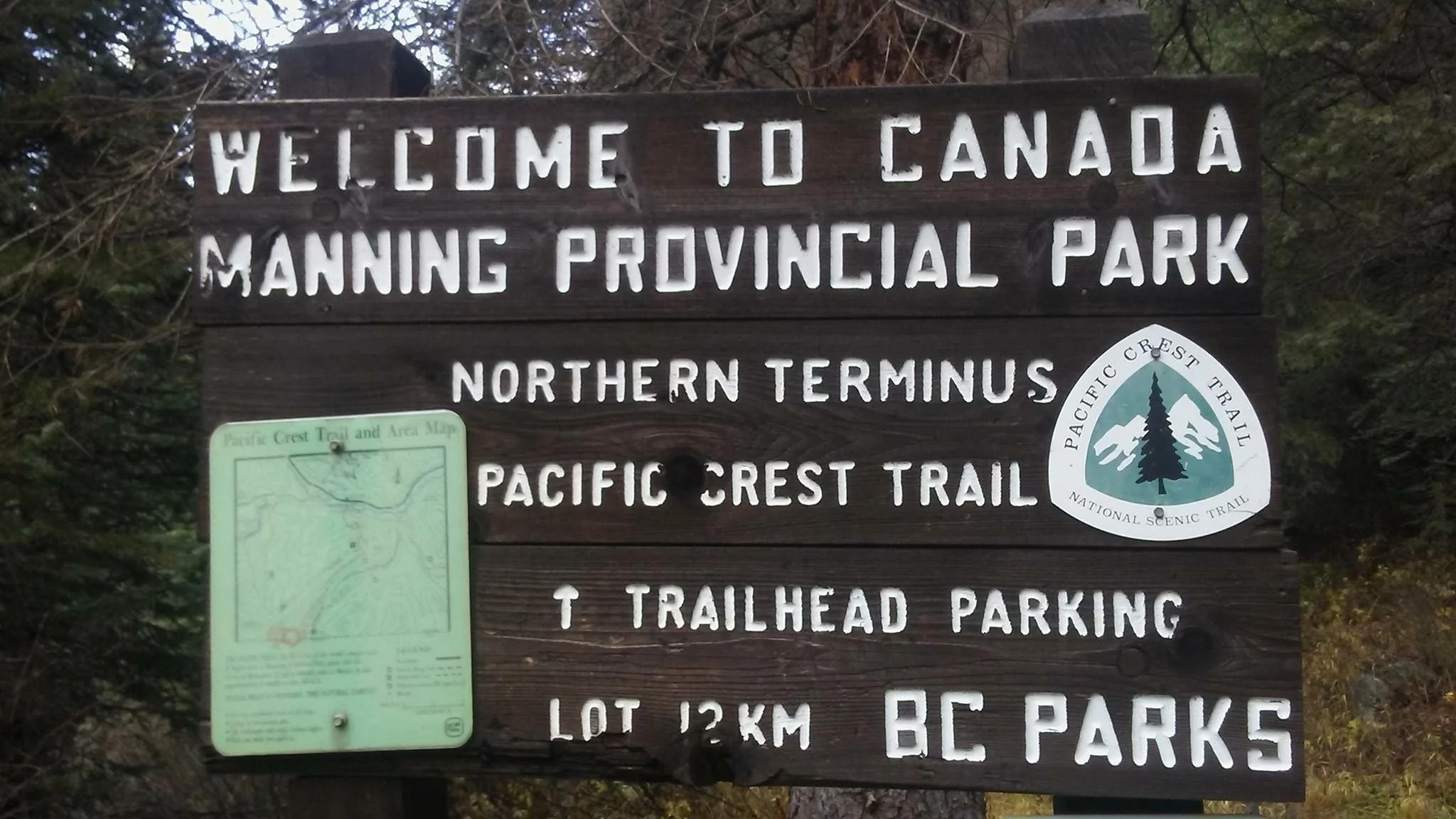
Roughly 1 kilometre before reaching the monument, our pace quickens. I am content to let others pass, for I'm not quite ready to rush the moment. I ponder how to savour the culmination of this epic journey. The trail winds through switchbacks, each one revealing the monument a bit more, and my fellow hikers can't contain their excitement, shouting with each turn. I, however, am absorbed in my own thoughts, my gaze focused on the path. It isn't until I reach the last switchback when I look up and there it is, almost a bit too fast …. THE monument a.k.a. the Northern Terminus of the Pacific Crest Trail ….


