GPT67 | Dientes de Navarino
Puerto Williams
15 April 2024 | 17°C
As the plane rolls across the airfield, it’s only when it parks right in front of our gate that I realize this is the one taking me from Punta Arenas to Puerto Williams. I was expecting something much smaller, but this aircraft looks like it can hold at least 150 passengers. The plane is nearly full, and when I reach my seat, a man is already sitting in it. He seems to know he’s in the wrong spot and asks if I can take his seat, also by the window on the other side. I agree, figuring it might be easier for him to avoid squeezing out of the row.
Lucky me—although I miss seeing Punta Arenas during takeoff, I get a stunning view of the mountain ranges on Isla Navarino as we approach the island. Just a few patches of snow remain on the high peaks here and there. Perfect!
The “airport” at Puerto Williams is little more than a runway and a small airstrip. Everyone disembarks and waits outside as a vehicle with trailers arrives, carrying all the luggage.
Though the town looks quite close, Google Maps says it’s a 50-minute walk to the center, with the port in the way, forcing me to walk around it. I start walking, but after just 5 minutes, a minivan stops and offers me a ride. I gladly accept, chatting with some cheerful locals until they drop me off right in front of the hostel. No need to tell them which one—it’s the only one in town, and of course, they know the owner.
A friendly, energetic woman, greets me with a big hug. When I mention my hiking plans, she suggests I talk to the young couple inside who have just returned from a similar hike.
While they prepare pizza dough in the kitchen, they tell me it took them seven days instead of five to complete the Dientes Trail. A heavy snowstorm the previous week had them stuck in their tent for a day, and crossing some of the steeper passes in knee-deep snow was grueling. Ouch!
Now uncertain, I study the map again. From the plane, I barely saw any snow—has it melted, or did I miss something? I consider an alternative route through the valley and head to the carabineros (police station) to inform them of my plans. The young officer informs me that the trail is technically closed for the season and tries to steer me towards easier day hikes. But that’s not what I came here for. As I persist, he reluctantly hands me a form to document my itinerary, gear, and a waiver acknowledging I’m proceeding at my own risk. I can almost read his thoughts: “Stubborn, reckless tourists.”
Sendero Windhond
16 April 2024 | 12°C
I wake up on an almost flat sleeping pad—looks like my fix in Punta Arenas wasn’t as successful as I’d hoped.
The morning is off to a better start when the lovely owner of Refugio El Padrino insists I join her for breakfast. She even offers to give me a ride to the trailhead, which is a bit out of town. She drops me off on a forest road where a sign marks the beginning of the trail. The first few kilometers through the forest are relatively easy, but a bit tedious as the trail often disappears, requiring constant GPS checks.
Eventually, the forest ends, and I emerge into an open area with intriguing rock formations in the distance. A first glimpse of “Los Dientes”?
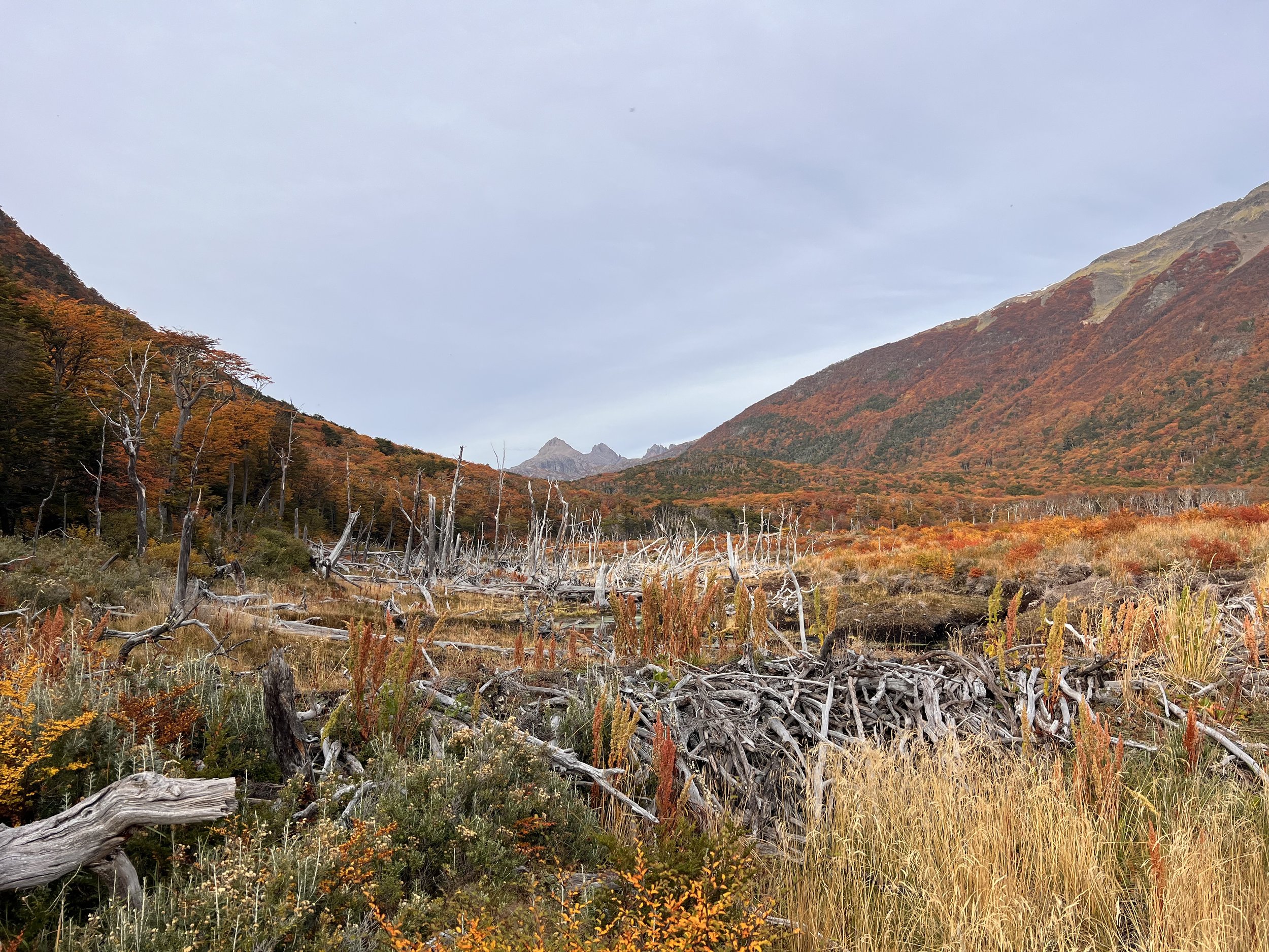
I knew wet feet were inevitable today, and the swampy terrain begins here. Beavers have left their mark on the landscape, creating ponds and fallen trees that turn the trail into an obstacle course. Despite the challenges, the walk is fascinating, with the vibrant autumn colors adding a touch of magic.
I stop for lunch by one of the first lakes. It looks like a natural lake, but upon closer inspection, I notice a pile of tree branches at one end. A beaver’s handiwork, perhaps?
Around 3 p.m., I reach the lake where I had initially planned to camp. It’s too early to stop, and walking has become easier on the so-called turbia. I wonder if I can still make it to Refugio Charles today.
As I continue, I find myself in a section of the forest where trees look like they’ve been felled by a giant axe. Was it a storm? A small trail leads straight into the water. Have beavers used these trees as raw material for their new home? Suddenly, I spot a beaver swimming in a small lake. Startled at first, I begin filming from a distance, but it doesn’t seem afraid at all, calmly swimming back and forth.
We watch each other for a while until it grows bored and swims to the other side to nibble on some grass. Though locals may see it as a pest, I find it quite charming. Here, it’s just a curious companion, bothering only a few hikers.
By 6 p.m., I find a flat, dry spot amidst the swampy surroundings and decide to stop for the night. Progress has been slow again, and I’m unsure if I’ll make it to Refugio Charles today. It will be dark by 7 p.m.
Dinner is couscous with veggie meat, cold-soaked—missing a few spices, so I toss in all the dry garlic I have left. It’s kinda okay. A few raindrops hit my tent, but nothing serious. I check the weather again and consider heading up to Monte Bettinelli instead of Lago Windhond tomorrow to enjoy the views and make it back to Puerto Williams before the rain kicks in two days.
As I turn off the light, the swampy, humid smell of my socks reminds me of today’s adventures.
At the Edge of the World: Monte Bettinelli and the Dientes Trail
17 April 2024 | 13°C
I’m heading up to Monte Bettinelli and the Dientes Trail! A quick look at the map shows the junction isn’t far. It’s a bit disappointing not to reach Refugio Charles, but I have to make the best of it.
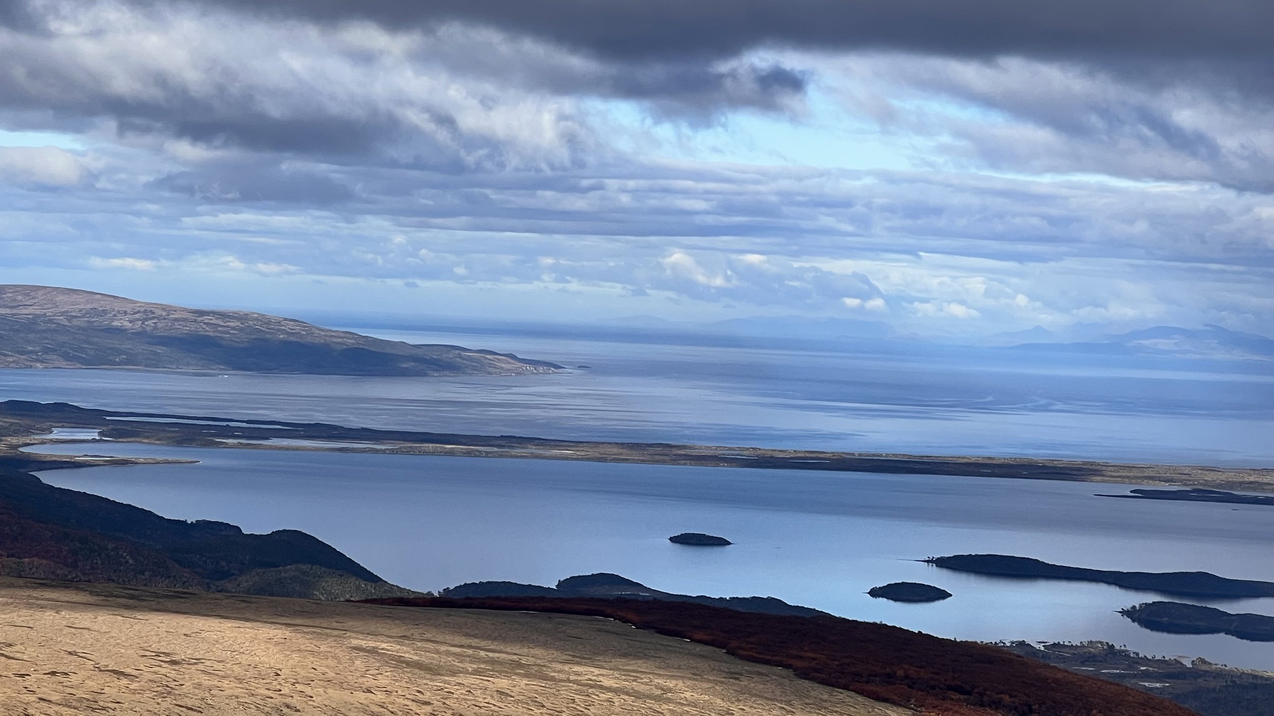
Suddenly, the forest opens up, and after crossing a small patch of lingering snow, I’m greeted by a vast, flat field of stones stretching out before me. My pace quickens immediately. A few peaks rise in the distance, but there’s no sign of the lake shown on the map. Where is the lake? And which one is Monte Bettinelli? Before I can figure that out, I turn around and am struck by the view. Lago Windhond and the bay with the same name come into sight.
I can’t stop staring and wish I could walk backward for the next few kilometers. I move forward, but every few steps, I stop, turn around, and snap another photo. I squint, trying to make out more islands in the distance. Could those be the Wollaston Islands? It must be. Though Isla Hornos and Cape Horn aren’t visible from here, the view feels magical. I’m so close to the southernmost islands before Antarctica.
Grateful for the clear weather, I feel a surge of excitement and end up missing the turn to Monte Bettinelli. Instead, I climb another hill and have to backtrack to find the right path.
Now I’m wondering: Do I have enough time to reach the plateau, or should I cut across further down? Can I still make it to Laguna El Salto, my planned camp spot for today? Will it be super windy up there? The idea of skipping the summit and heading straight to the valley is tempting, but I’m torn. I start walking down but quickly become frustrated with myself. “Hey, you’re so close to the summit, the weather’s good, and the walk on the rocks is probably easier than the swampy grass below. Stick to the trail!” I push on, and before I know it, I’m at the top, enjoying even more breathtaking views.
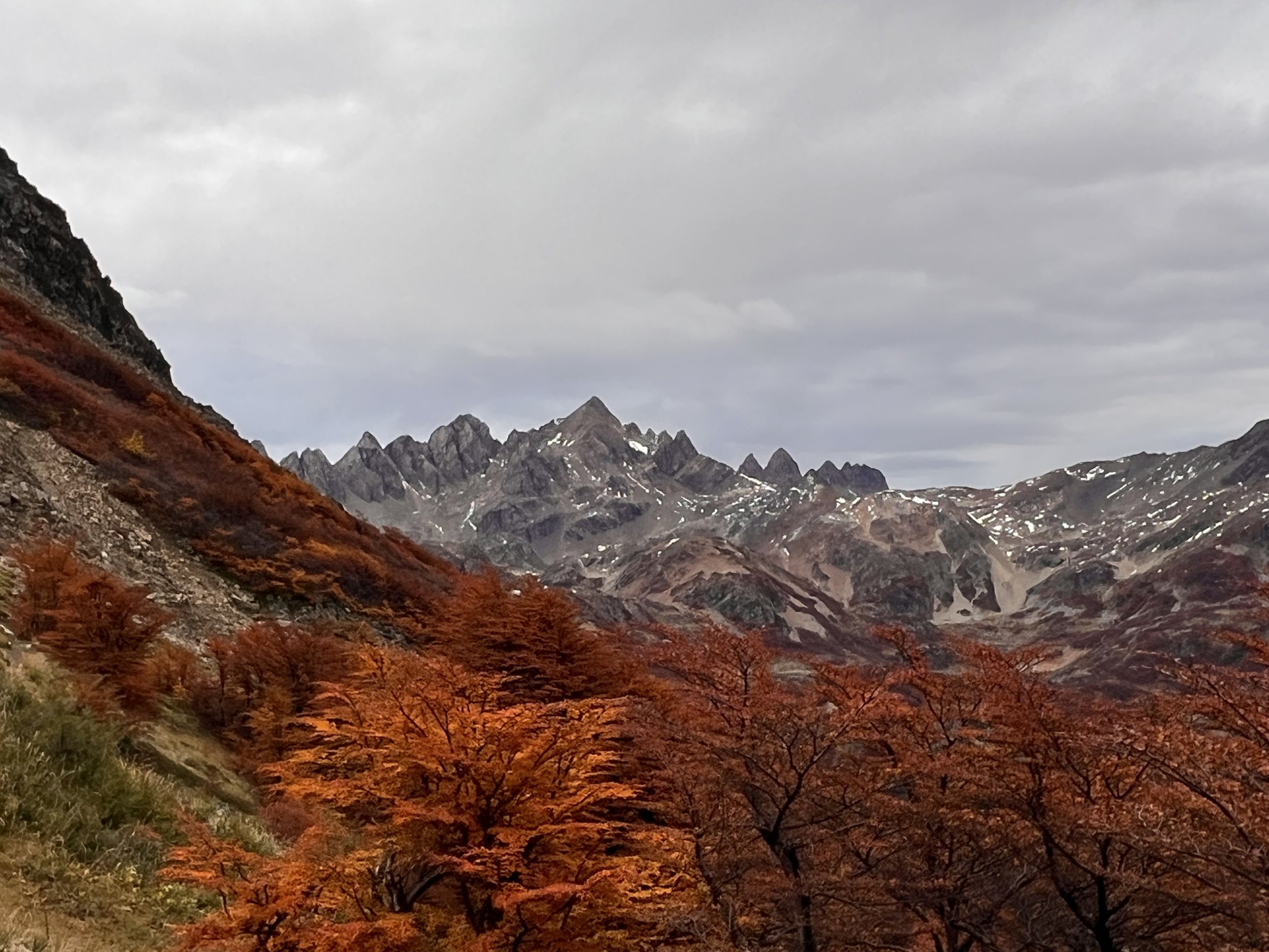
Now, I can see not only the south but also the impressive range of “Los Dientes de Navarino,” jagged like teeth that haven’t seen a dentist in a while. Running down the hill is easy across the stones, but once I hit the grassy terrain, I slow down—too easy to twist an ankle here.
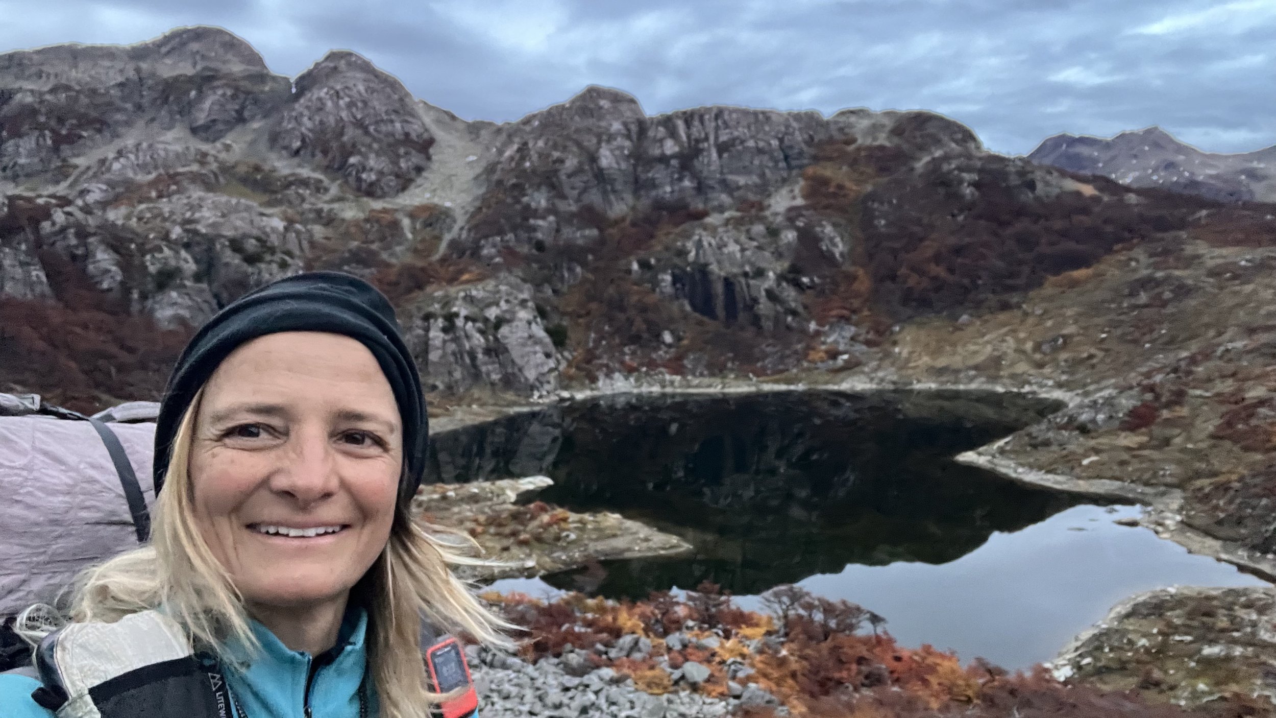
Just before reaching the junction with the Dientes Trail, I start to feel weak and tired. I realize I completely forgot to take a lunch break. With an inner urge to keep moving, I quickly down some peanuts for energy, but by the time I reach Laguna Los Dientes, I have to sit down for a longer rest. It’s a serene, secluded spot, and I’m the only one here. If only I could stay, but with rain expected tomorrow, it’s better to cover some more distance today.
The rest works wonders, and soon I’m back on the trail, making quick progress. Two more passes later, and Laguna del Salto comes into view. There are plenty of campsites around the shore, though most are wet, so I settle on a spot slightly higher up by some trees.
Is this my last night on the Greater Patagonian Trail?
The final Descent back to Puerto Williams
With a 60 percent chance of rain forecasted for 8 a.m., I planned to start early and reach Puerto Williams by lunchtime. But it’s hard to leave. Though there’s no sun this morning, the view of the Laguna El Salto and the Dientes, surrounded by more scattered lagoons and autumn-colored trees, is simply too beautiful to rush away from.
The trail ascends and then skirts along the mountainside. There are a few spots where the trail has washed away, and while this isn’t as steep as Paso Virginia, I’m glad I’m not doing this in heavy rain or snow.
As I continue, the Beagle Channel comes into view in the distance, and before I know it, I reach Cerro Bandera, a popular day hike from Puerto Williams, marked by a giant Chilean flag.
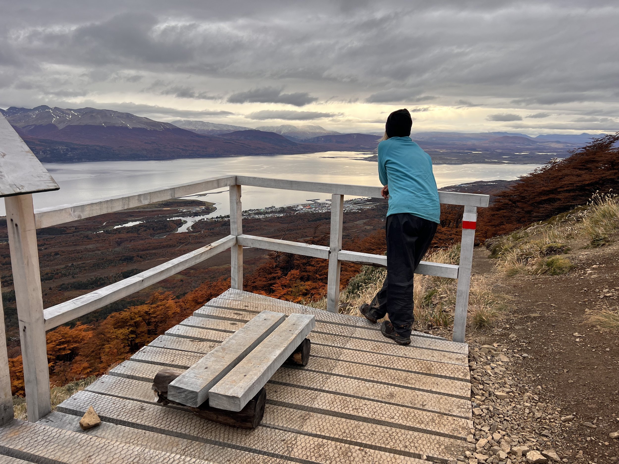
Though it’s all downhill from here, my progress is slow. I can’t help but stop and stare across the Beagle Channel. To the left, Ushuaia is visible in the distance, and to the far right, I can see Estancia Haberton on the Argentinian side. Just before the trail dips back into the trees, I spot someone running up the trail. A trail-running photographer? Or a photographing trail runner? Either way, it’s the first person I’ve seen since leaving Puerto Williams two days ago. But instead of striking up a conversation, I prefer to keep gazing across the Beagle Channel.
The clouds hang low, and I watch a ship leaving the port, wondering how sailors felt as they embarked from here toward Cape Horn or even farther. Or how the indigenous Yaghan once paddled across these waters in their small, kayak-like boats. It must have been freezing. Or maybe we’re just softer now?
As I finally make my way into town, I pass some school children who smile and greet me with a friendly “hello” in English. I guess I look like a tourist. :)


